Local Wellness
Winter Storm Watch vs Warning: How to Read NWS Alerts Before You Drive
5D Wellness Team·8 min read·November 18, 2026
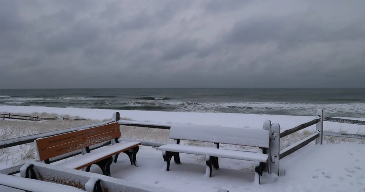
Reading the alert before you grab your keys
The phone buzzes with a Winter Storm Watch while you are sorting out the week in East Bethel. Is that a "maybe pack a shovel" message or a "cancel Thursday" message? The words look alike. The difference matters if your drive runs through Ham Lake, Andover, Blaine, Isanti or Cambridge.
This guide walks through what each National Weather Service alert means, which snow totals the Twin Cities forecast office uses as triggers, and how to turn the wording into a decision about whether to drive. It's plain weather-safety information drawn from the NWS itself, not a forecast.
Watch, advisory, warning: the three tiers
The NWS winter weather alert guide sorts alerts into three tiers, and each tier comes with a short instruction.
- Watch: be prepared. A Winter Storm Watch is issued when conditions are favorable for a significant winter storm event, such as heavy sleet, heavy snow, an ice storm, or heavy snow with blowing snow.
- Advisory: be aware. A Winter Weather Advisory is issued when snow, blowing snow, ice or sleet is expected but conditions should not be hazardous enough to meet warning criteria. The NWS asks you to be ready for winter driving conditions and to use caution.
- Warning: take action. A Winter Storm Warning is issued for a significant winter weather event. Per the NWS, travel will become difficult or impossible in some situations, and the advice is to delay your travel plans until conditions improve.
Picture a ladder. A watch says the ingredients are lining up, so check your car and your calendar. An advisory says an inconvenient day is likely. A warning says the event is the real thing, so plan around it.
What the Twin Cities office uses as triggers
Here's a detail that surprises people: the numbers aren't national. The NWS notes that alerts are based on local criteria set by each local office, and that the snow amount that triggers a Winter Storm Warning in the Northern Plains is typically much higher than in the Southeast. Minnesota drivers are used to snow, and the thresholds reflect that.
The NWS Twin Cities office, which covers the North Metro, publishes its own watch, warning and advisory criteria. As of this writing, they read like this:
- Winter Storm Watch: significant and dangerous winter weather is possible, generally within 72 hours.
- Winter Storm Warning: significant and dangerous winter weather is expected, generally within 24 hours. Snow criteria are 6 or more inches with an event not exceeding 48 hours, or 1/2 inch of sleet. Forecasters can also issue one for a combination of snow, sleet, freezing rain, blowing snow or wind that leads to significant impacts.
- Winter Weather Advisory: weather that causes inconvenience but is not dangerous if proper caution is exercised. That covers 3 to under 6 inches of snow, blowing snow that cuts visibility locally, under 1/2 inch of sleet, or under 1/4 inch of ice.
The lead times are useful on their own. A watch gives you roughly three days of notice that something may be coming. A warning narrows that to about a day. Because the office reserves forecaster discretion, a storm with less snow but strong wind and ice can still earn a warning. The office can revise these numbers, so check the current page before you rely on them.
Blizzard and ice storm warnings
Two warnings sit above the everyday snow event. Both say the same thing: stay home if you can.
A Blizzard Warning is about wind and visibility more than snow depth. The Twin Cities criteria call for falling or blowing snow reducing visibility to under 1/4 mile, sustained winds or frequent gusts of 35 mph or higher, and conditions lasting three hours or longer. The NWS says whiteout conditions make travel extremely difficult and tells people not to travel. If you must, carry a winter survival kit, and if you get stranded, stay with your vehicle and wait for help to arrive.
An Ice Storm Warning is usually issued for about 1/4 inch of ice or more. The NWS says that amount makes travel dangerous or impossible and is likely to snap power lines and bring down tree branches. It describes freezing rain as rain that freezes when it hits the ground, coating roads, walkways, trees and power lines in ice, and sleet as rain that turns to ice pellets before reaching the ground. Either one leaves roads slick.
The NWS winter safety page adds a sobering note: thousands of people are injured or killed every year in traffic accidents related to slippery roads from winter storms.
Extreme cold alerts have new names
If you remember hearing about Wind Chill Warnings, the vocabulary has changed. The Twin Cities office lists the old wind chill products as decommissioned after winter 2023 to 2024. In their place are the Extreme Cold Watch and Warning and the Cold Weather Advisory. For the seven-county metro and areas south and east, an Extreme Cold Warning means wind chills or air temperatures colder than -35°F are expected. Farther north and west, the line is -40°F. The NWS Minnesota winter hazard awareness page describes the Cold Weather Advisory at -25°F for the Twin Cities area and -30°F farther north.
The cold alerts are about air and wind, not roads, but a stalled car in that cold is a different kind of problem. For more on the cold side of a Minnesota winter, see our guide to wind chill and frostbite facts for Minnesota winters.
Planning a visit around the alert
Here's a simple way to turn the tier into a plan for any trip, whether it is the grocery store, a hockey game or an appointment.
- Watch in effect: keep the trip on the calendar, but fill the gas tank, charge your phone, and check the forecast again tomorrow.
- Advisory in effect: leave early, slow down, and leave extra room between vehicles. Roads are usually passable, just slower.
- Warning in effect: the NWS advice is to delay travel plans. Move what you can to another day.
- Blizzard or Ice Storm Warning: do not make the trip unless it is essential, and carry a winter survival kit if it is.
The same logic applies to a visit at 5D Wellness in East Bethel. If an advisory is posted, build in extra drive time. If a warning is posted, rescheduling is the sensible call. Our note on planning a sauna visit after a snow day covers how to time a visit once the plows have come through, and you can book a visit for a day when the roads are clear.
The short version
A watch means the pieces are coming together, so prepare. An advisory means a slower, messier day, so be aware. A warning means take action and rethink the trip. Check the alert type before you drive, then check the Twin Cities office page for the current numbers.
Frequently Asked Questions
How far ahead does a Winter Storm Watch come?
The NWS Twin Cities office says a watch means significant and dangerous winter weather is possible, generally within 72 hours. A warning means it is expected, generally within 24 hours.
Is a Winter Weather Advisory worth paying attention to?
Yes. The NWS describes an advisory as winter weather that causes inconvenience but is not dangerous if proper caution is exercised. Slow down, leave room, and expect delays.
Do the same snow totals trigger a warning everywhere?
No. Each local NWS office sets its own criteria. The Twin Cities office lists 6 or more inches of snow in an event of 48 hours or less for a warning.
What should I do if I get stranded in a blizzard?
The NWS says to stay with your vehicle and wait for help to arrive, and to carry a winter survival kit if you must travel.
This article is for general wellness and educational purposes only and is not medical advice. 5D Wellness services are not a substitute for professional medical care. Results vary by individual. Consult a qualified healthcare provider before starting any new wellness practice, especially if you are pregnant or have a medical condition.
This article is for general information only and is not medical advice.